
Trusted by Industry Leaders
We partner with Pakistan’s most critical infrastructure providers, energy giants, and construction firms to deliver millimeter-precision spatial data.






“Epsilon’s LiDAR technology allowed us to survey 200km of mountainous transmission line corridor in just 4 days. The accuracy of the bare-earth model saved us weeks of rework in the design phase.”
Leading Infrastructure Group, Islamabad
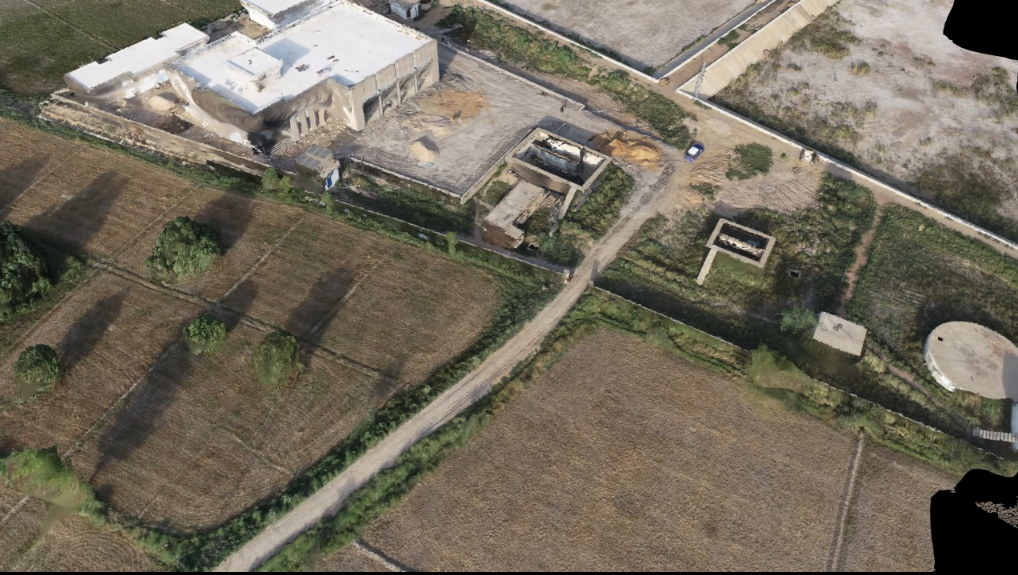
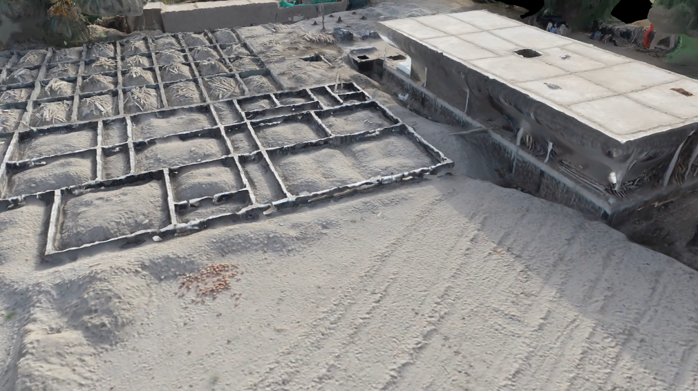
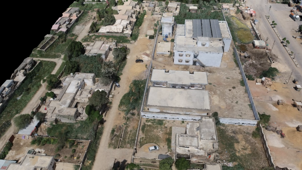
This project was successfully delivered using a combination of advanced surveying techniques, LiDAR technology, and geospatial data processing to ensure accurate, reliable, and high-quality results. Despite the project’s unique technical and operational challenges, our team executed every phase with precision, maintaining strict quality standards and meeting the client’s timeline. Through careful planning, experienced field operations, and detailed data analysis, we provided actionable insights and deliverables that supported informed decision-making and the successful completion of the project.
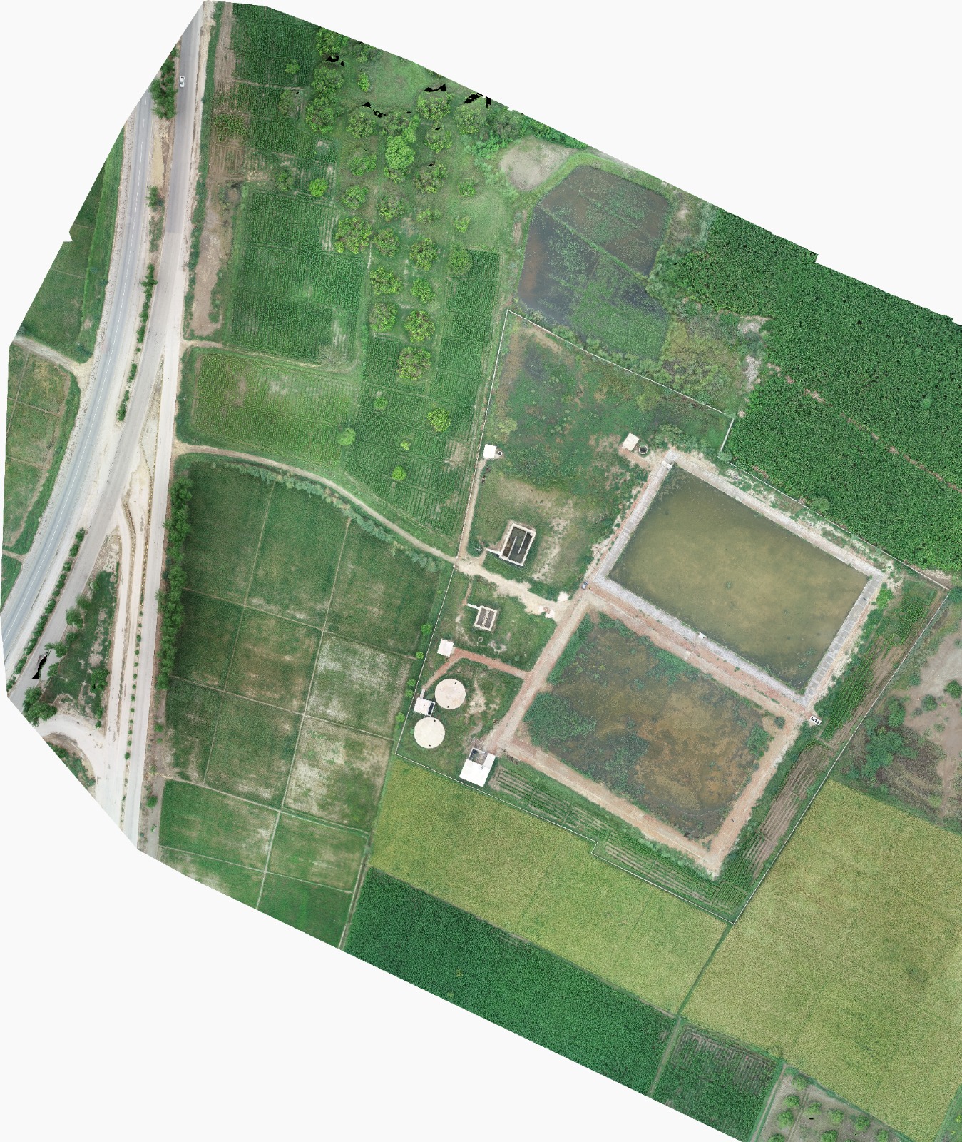
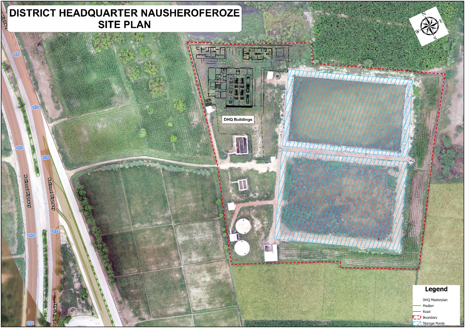
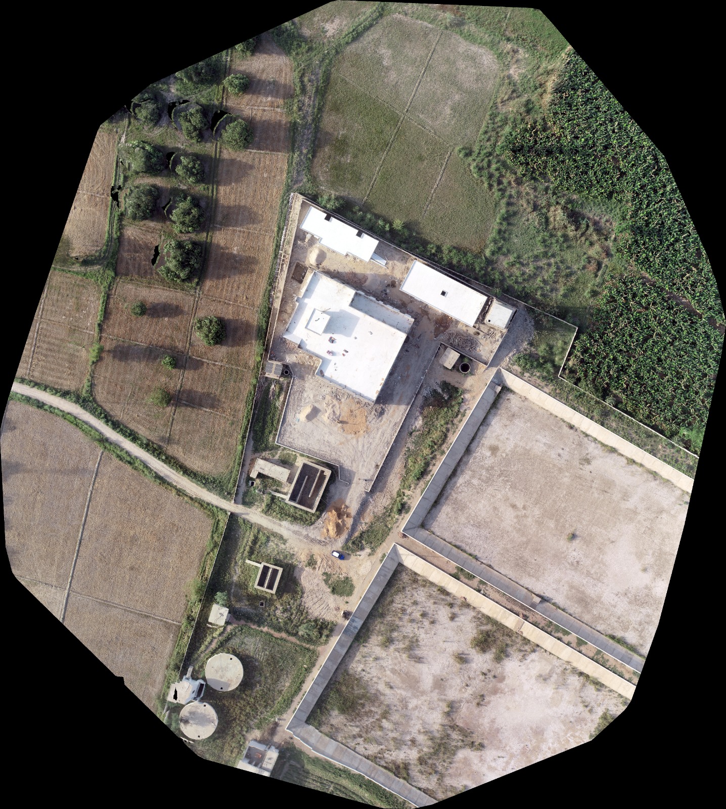
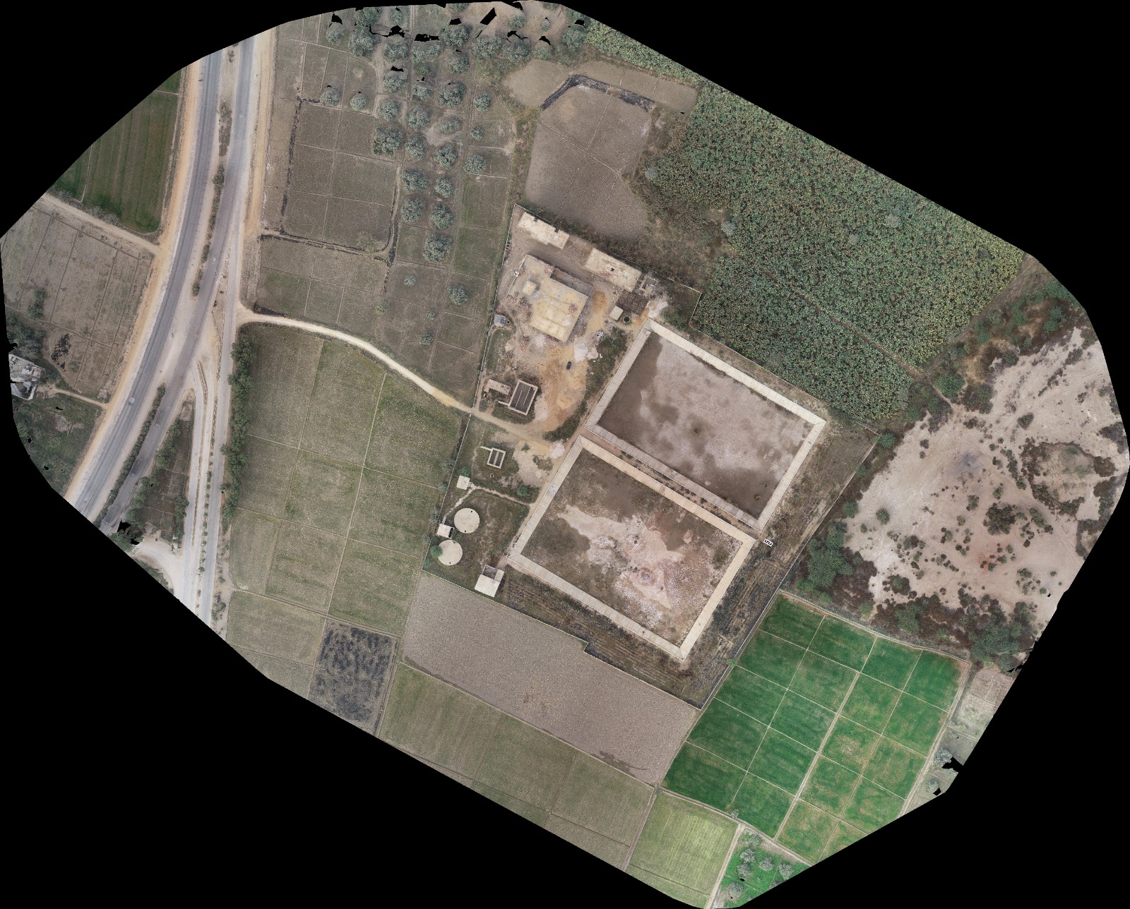
This project was successfully delivered using a combination of advanced surveying techniques, LiDAR technology, and geospatial data processing to ensure accurate, reliable, and high-quality results. Despite the project’s unique technical and operational challenges, our team executed every phase with precision, maintaining strict quality standards and meeting the client’s timeline. Through careful planning, experienced field operations, and detailed data analysis, we provided actionable insights and deliverables that supported informed decision-making and the successful completion of the project.
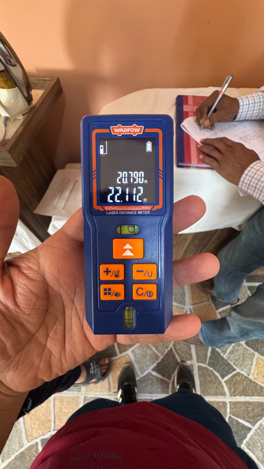
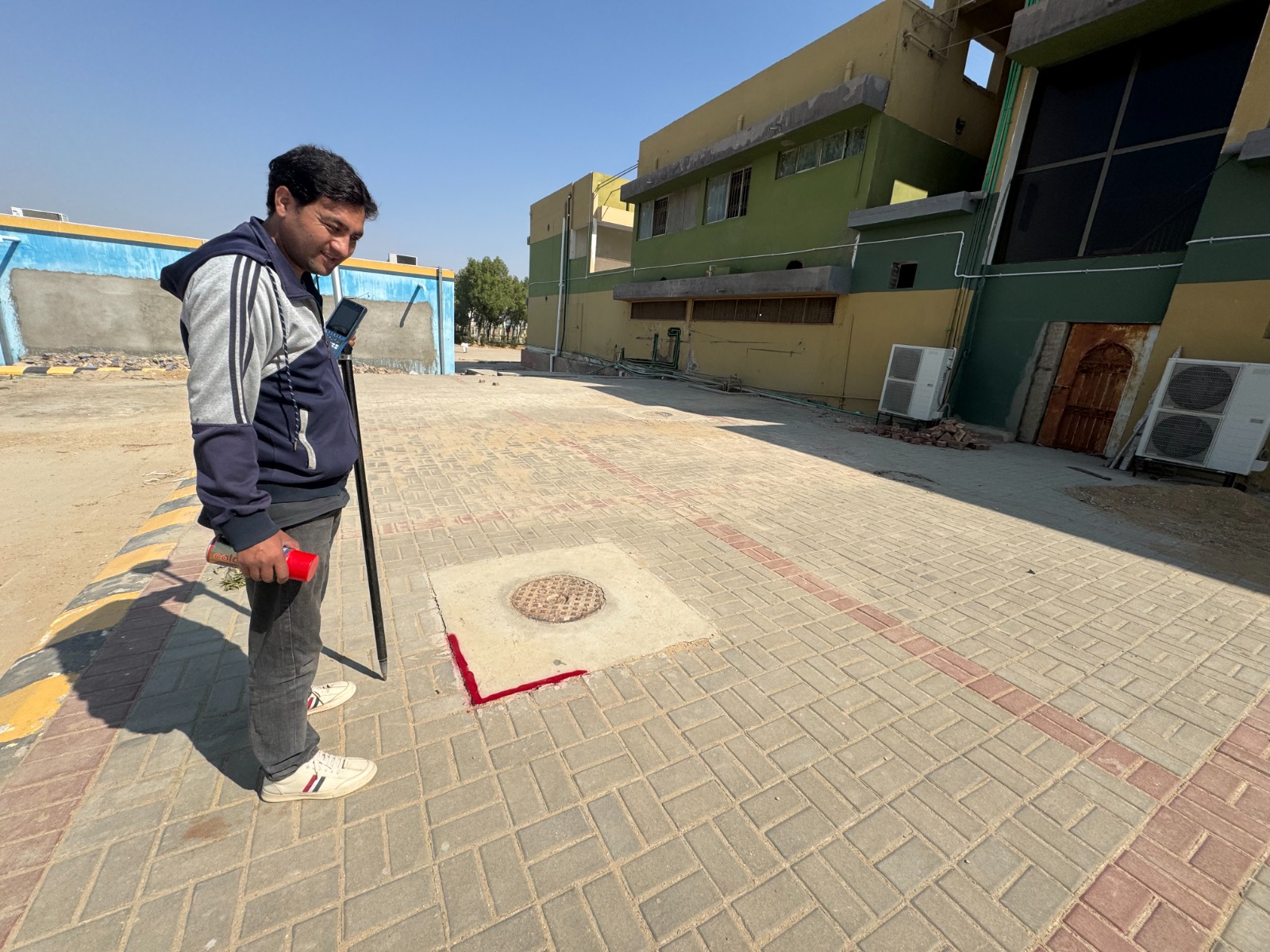

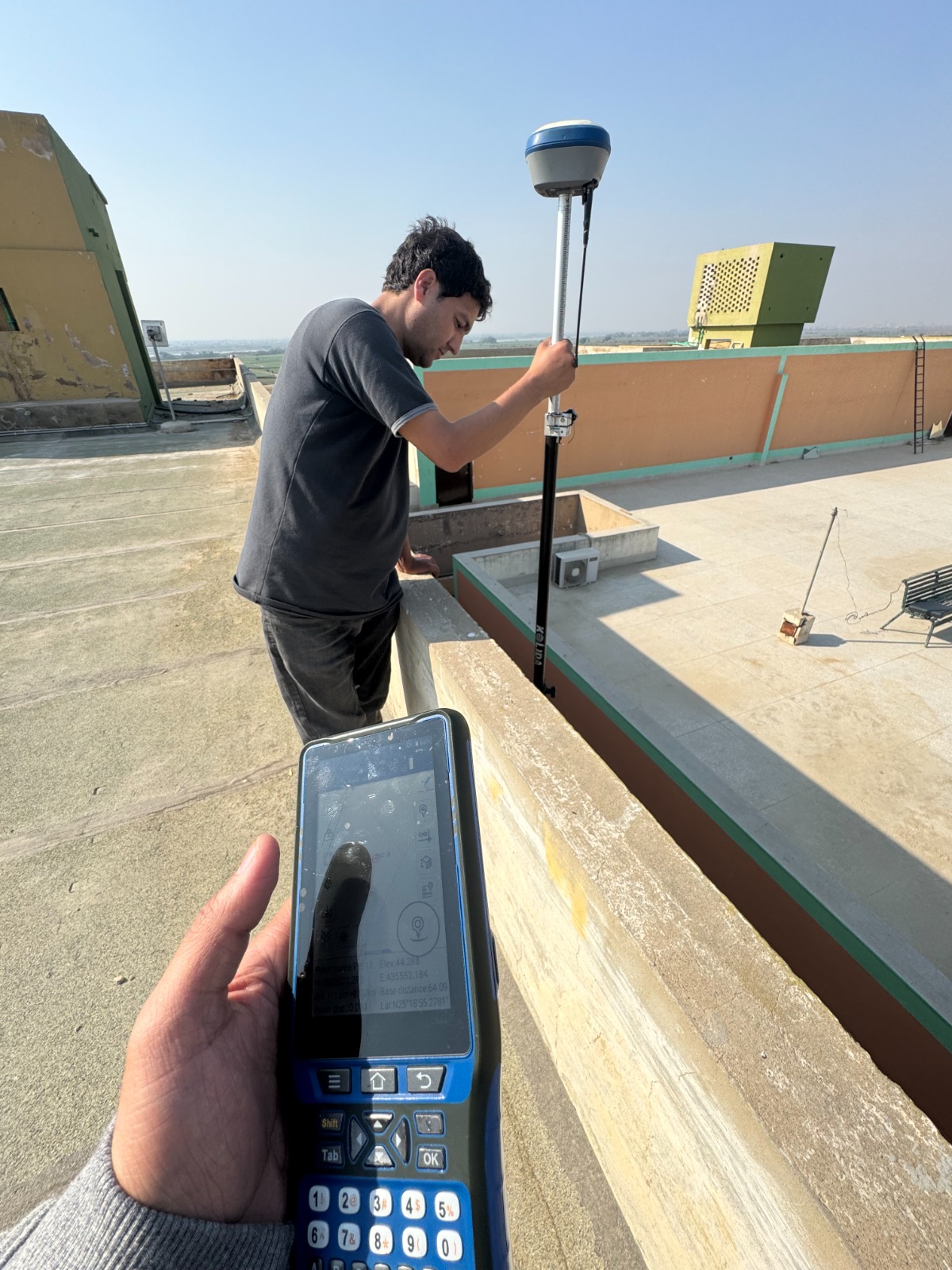
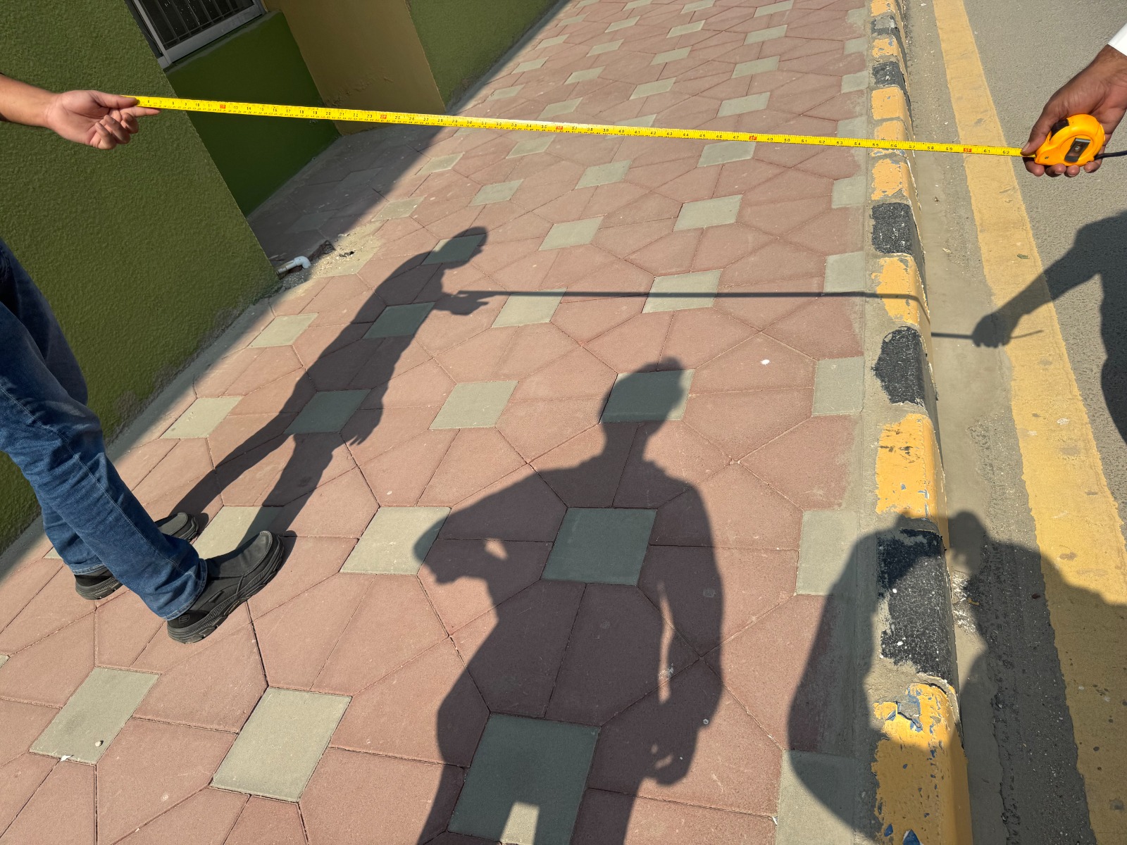
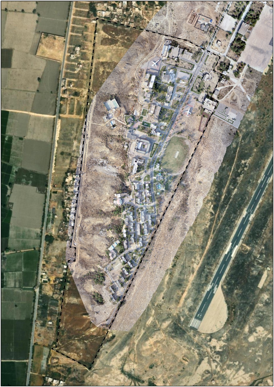
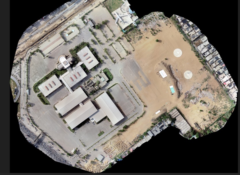
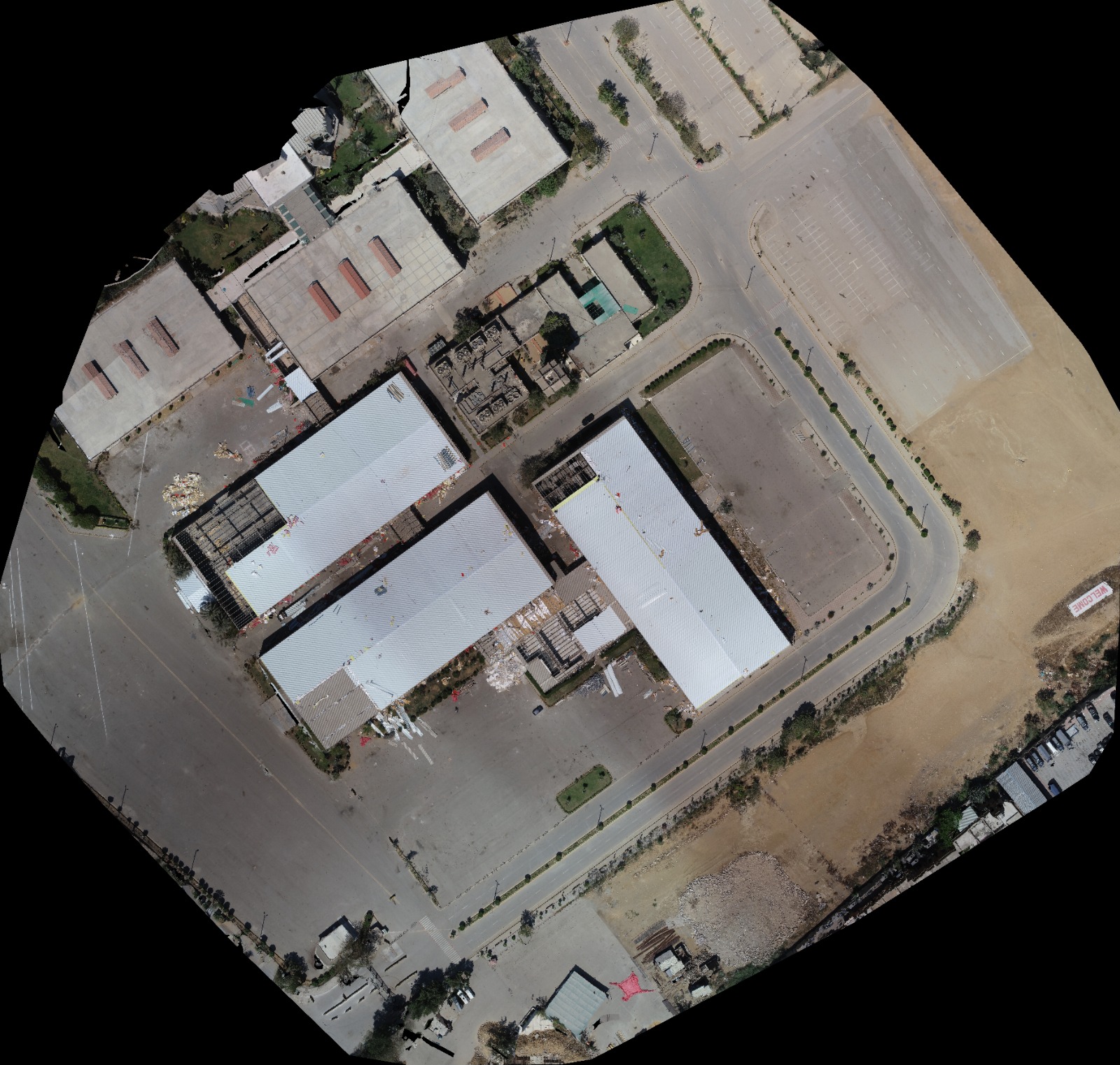
This project was successfully delivered using a combination of advanced surveying techniques, LiDAR technology, and geospatial data processing to ensure accurate, reliable, and high-quality results. Despite the project’s unique technical and operational challenges, our team executed every phase with precision, maintaining strict quality standards and meeting the client’s timeline. Through careful planning, experienced field operations, and detailed data analysis, we provided actionable insights and deliverables that supported informed decision-making and the successful completion of the project.
PROJECT HIGHLIGHTS.
Fast, Accurate And Intelligent Surveying For Modern Projects
This project was successfully delivered using a combination of advanced surveying techniques, LiDAR technology, and geospatial data processing to ensure accurate, reliable, and high-quality results. Despite the project’s unique technical and operational challenges, our team executed every phase with precision, maintaining strict quality standards and meeting the client’s timeline. Through careful planning, experienced field operations, and detailed data analysis, we provided actionable insights and deliverables that supported informed decision-making and the successful completion of the project.
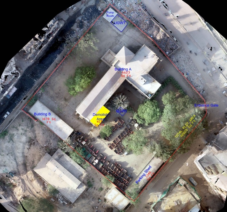
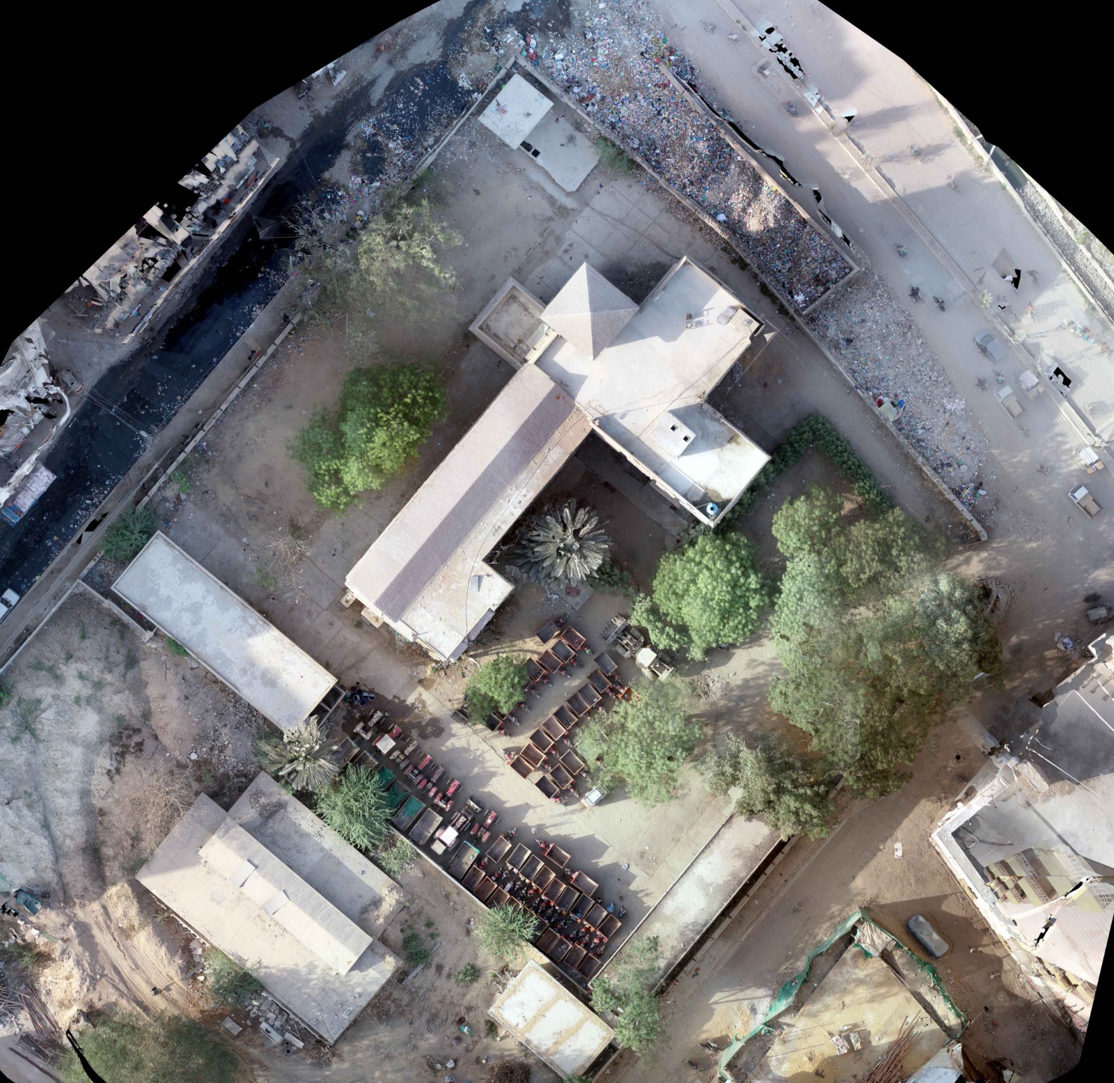
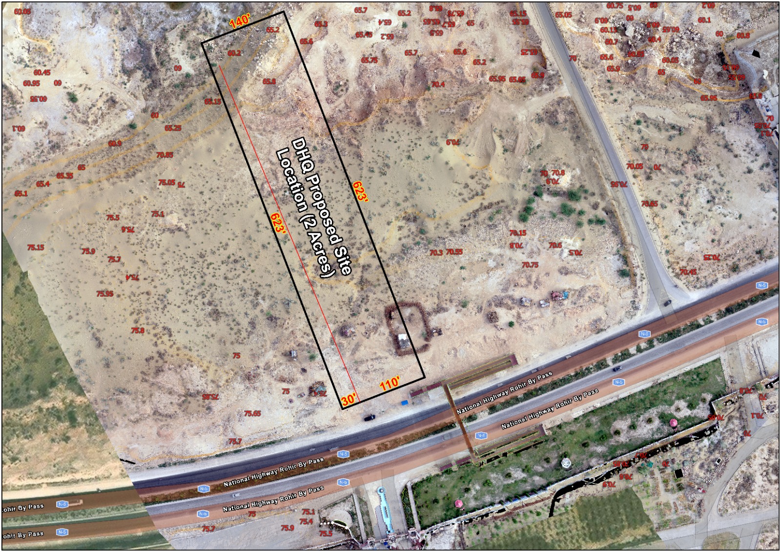
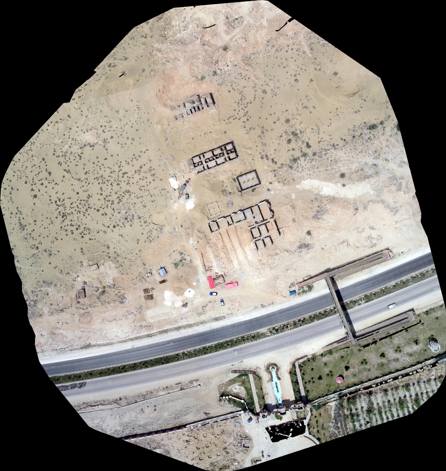
This project was successfully delivered using a combination of advanced surveying techniques, LiDAR technology, and geospatial data processing to ensure accurate, reliable, and high-quality results. Despite the project’s unique technical and operational challenges, our team executed every phase with precision, maintaining strict quality standards and meeting the client’s timeline. Through careful planning, experienced field operations, and detailed data analysis, we provided actionable insights and deliverables that supported informed decision-making and the successful completion of the project.