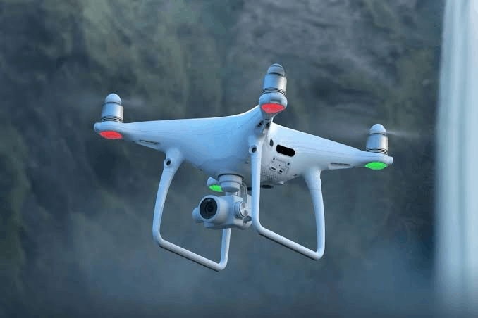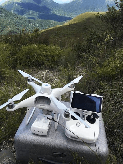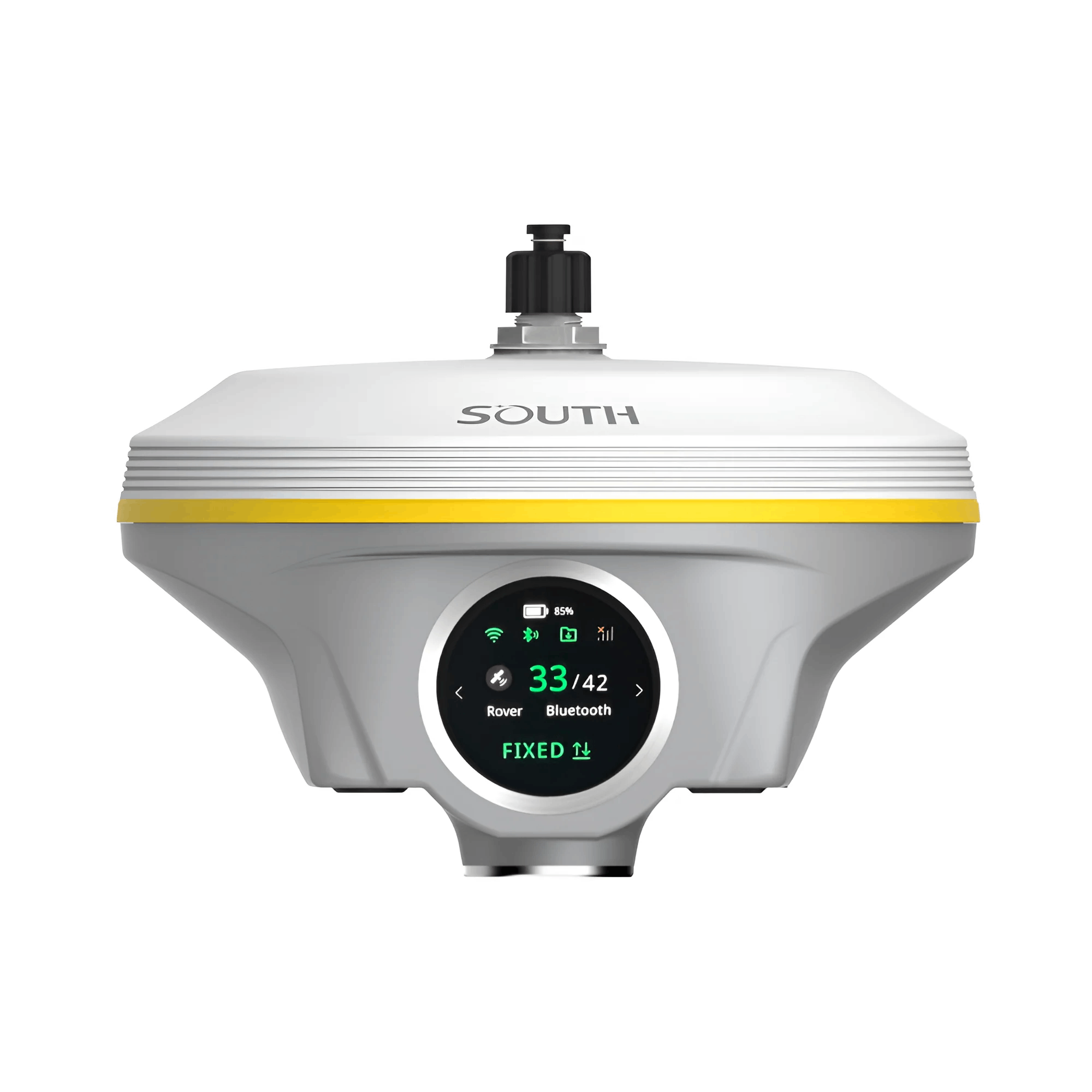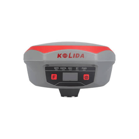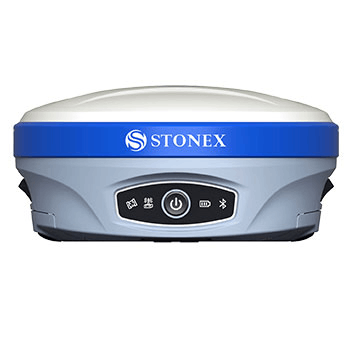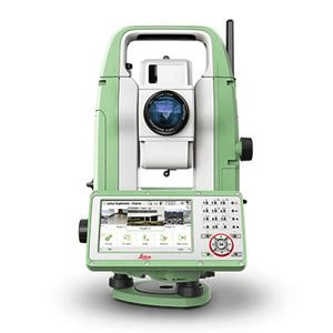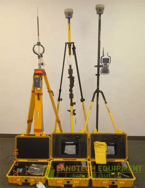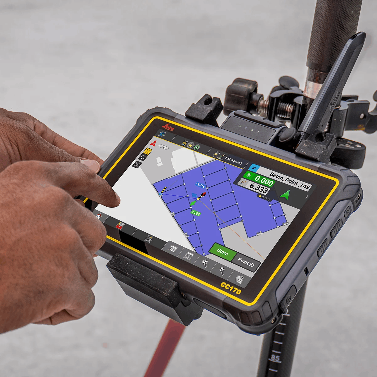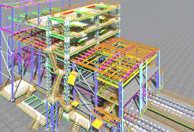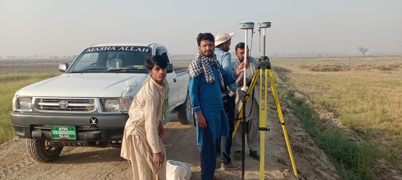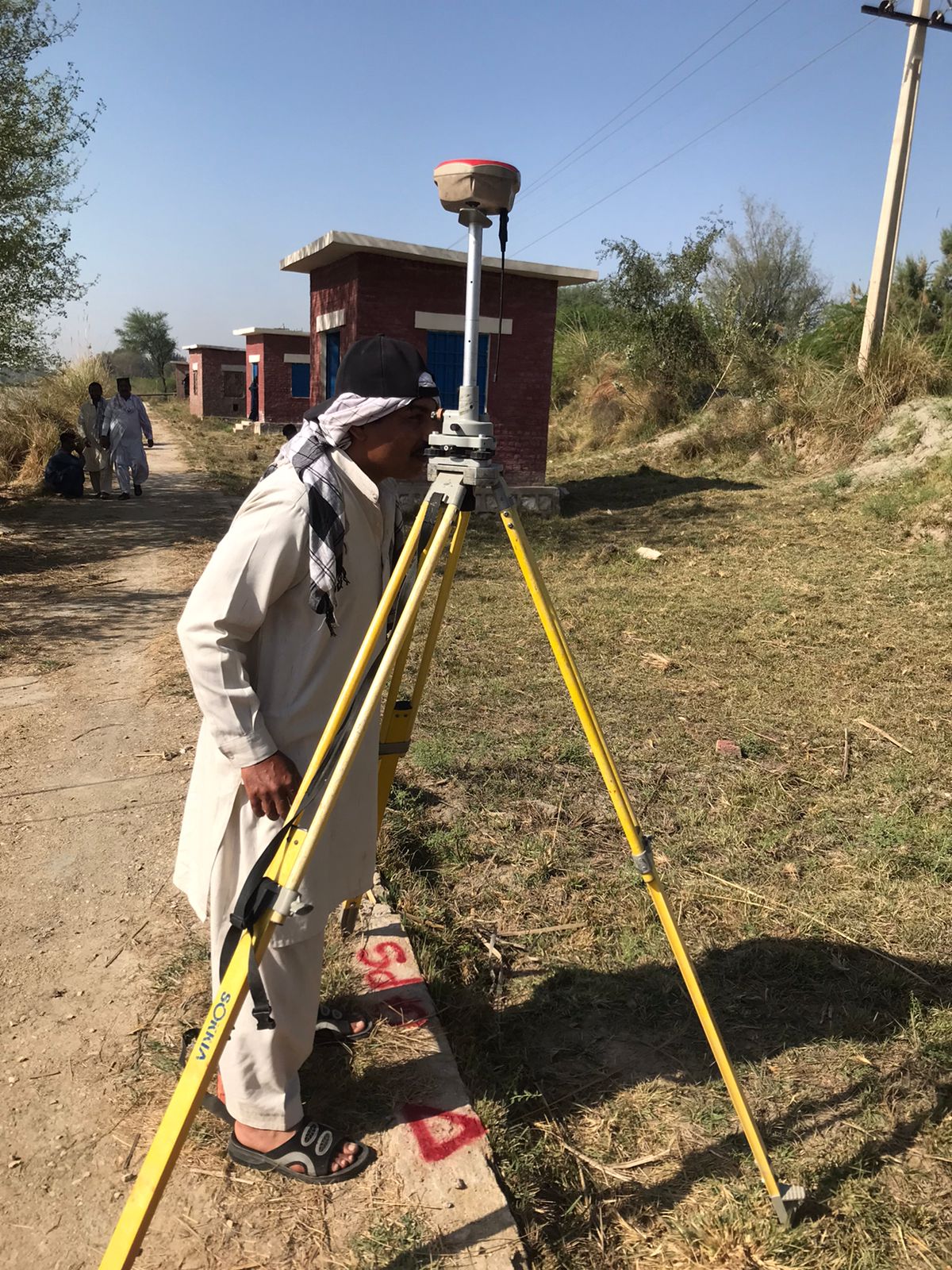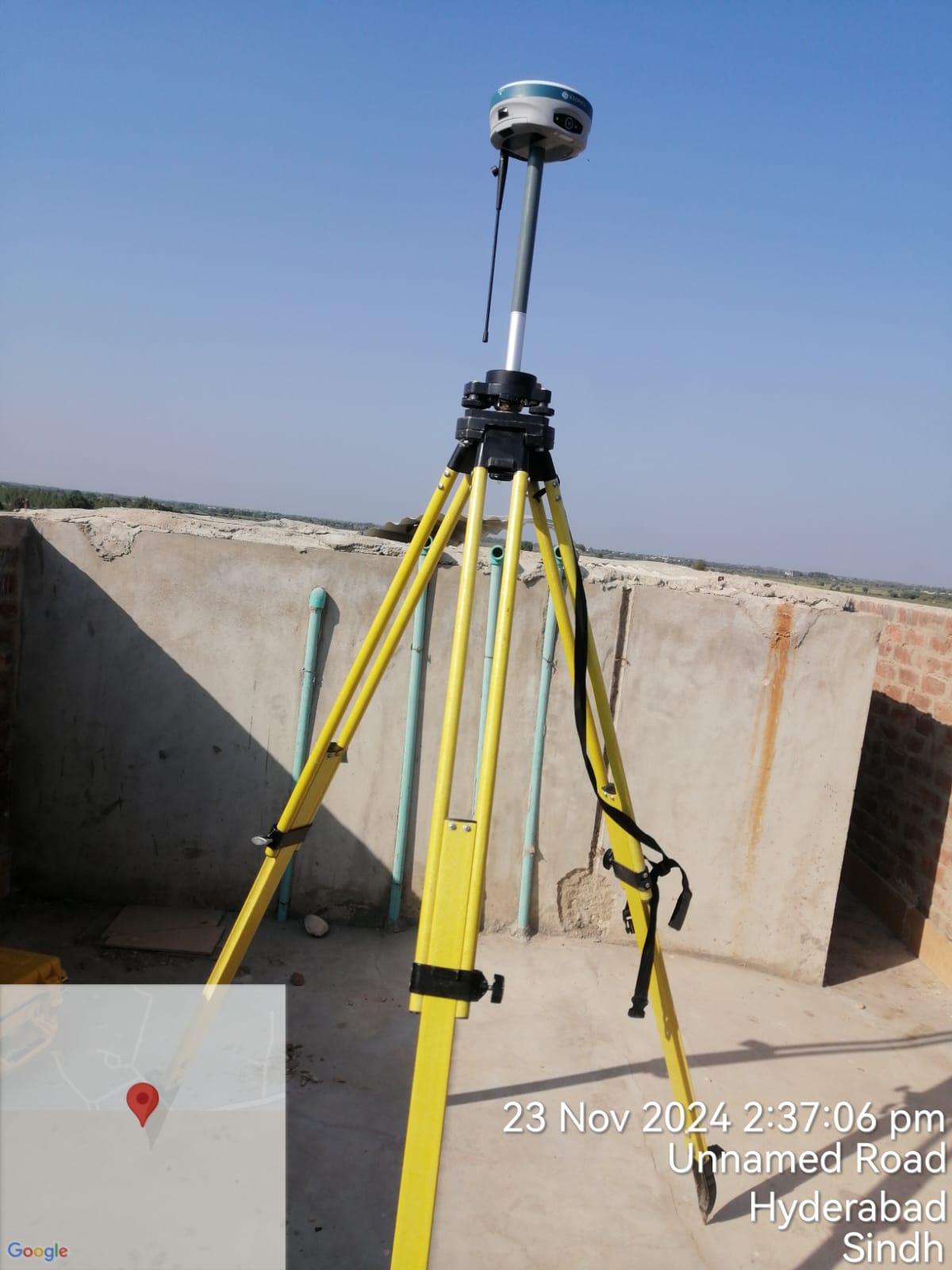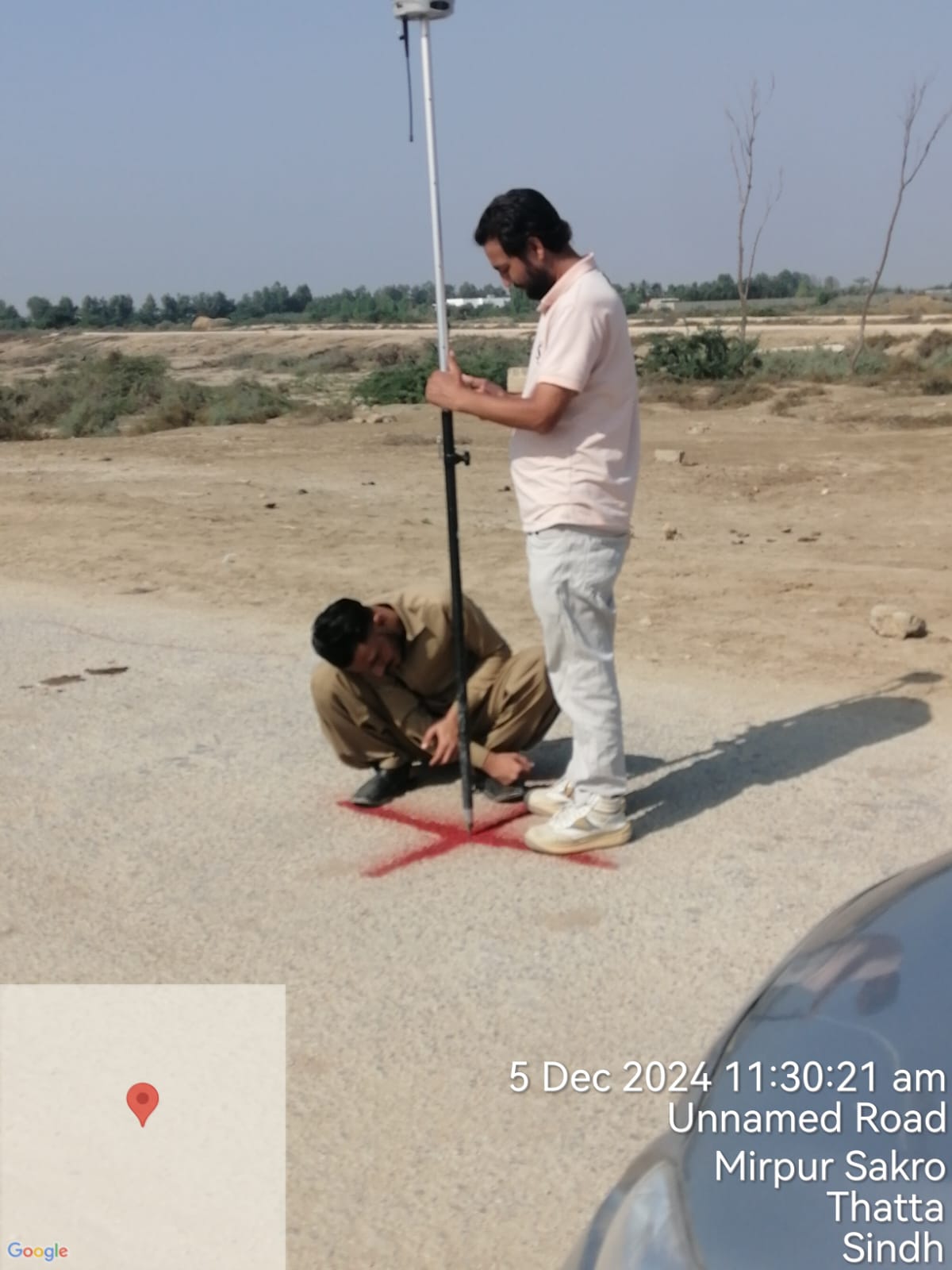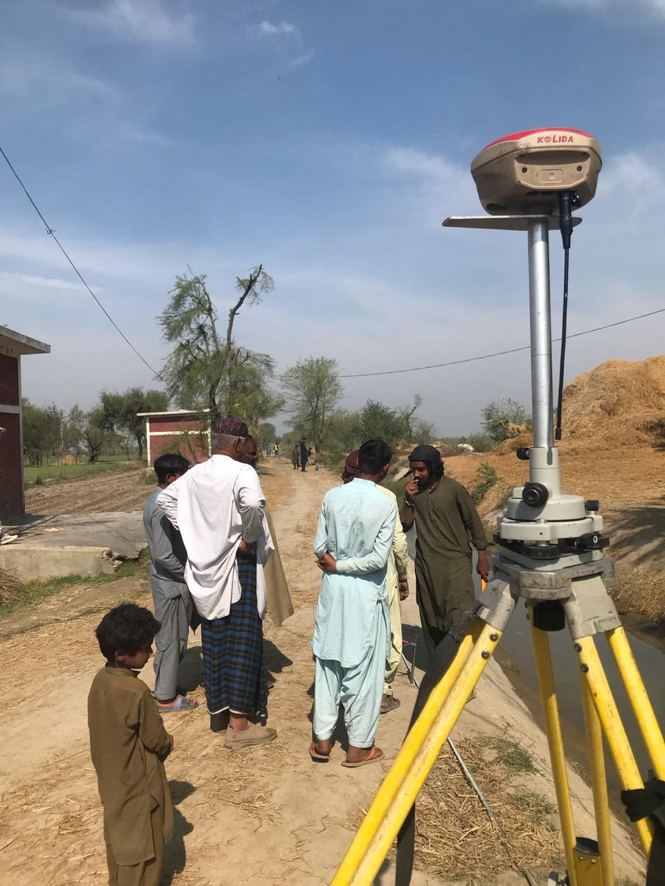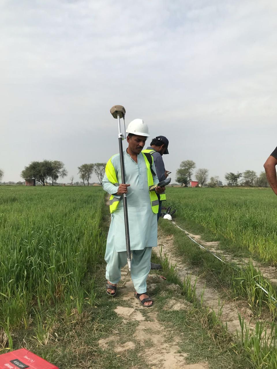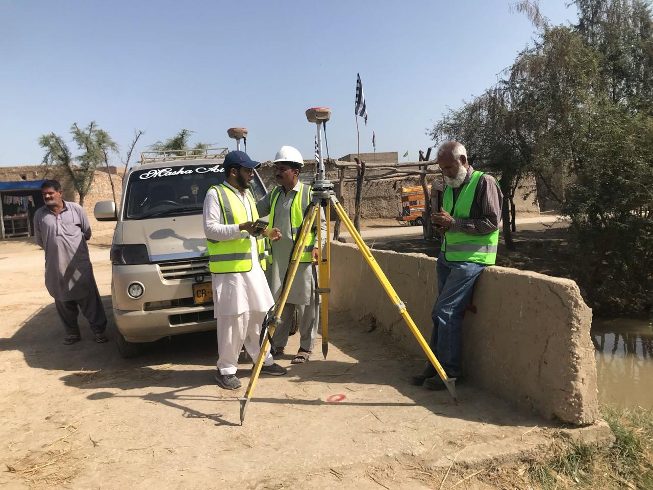
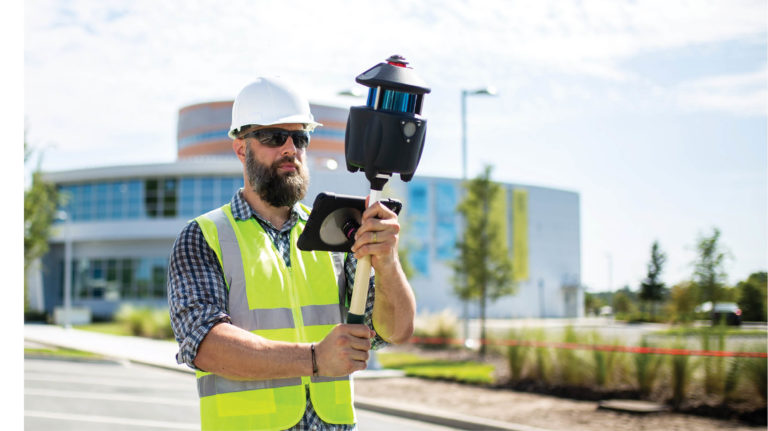
Epsilon Geomatics is pioneering the digital twin revolution in Pakistan. We provide high-precision geospatial data that empowers engineers to build, maintain, and secure the nation’s critical infrastructure with surgical accuracy.
01
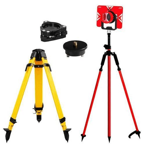
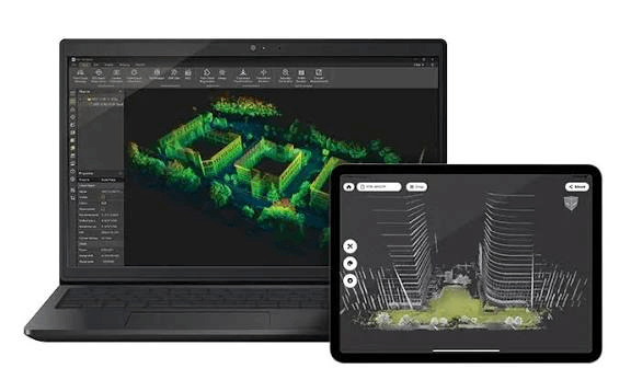
Our mission transcends basic surveying. In an era of rapid industrialization, Epsilon Geomatics serves as the bridge between physical structures and digital intelligence. We are committed to redefining the standards of engineering in Pakistan through the deployment of cutting-edge LiDAR and terrestrial scanning technologies.
By providing absolute precision, we enable our partners in the energy, construction, and manufacturing sectors to reduce operational risk and optimize lifecycle management for high-value assets.
Unyielding commitment to data accuracy and ethical engineering standards.
Continuous integration of evolving geospatial hardware and AI-driven analysis.