Epsilon Geomatics

SERVICE CAPABILITIES 2026

Our
Services

Engineering Excellence Through Smart Survey Solutions
Total Station, DGPS, RTK & Drone-Based Surveying
Advanced Handheld LiDAR for Fast and Accurate Data Capture
Delivering Reliable Results with a Smarter, Smoother Workflow

design ohne tite

▶ LIVE POINT-CLOUD STREAM

Active: Karachi-Site-Alpha

TECHNICAL WORKFLOW

01

Fast Scanning

Fast scanning of indoor and outdoor building spaces.

02

Accurate 3D

Accurate 3D point cloud data for as-built documentation.

03

Coverage

  • Better coverage of complex, congested and hard-to-measure areas.
04

Better Visualization

  • Real-time visualization and verification of captured data.
image 4 768x431
● LIVE DATA STREAM ACTIVE

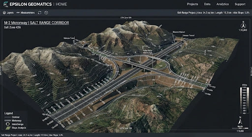
Laser-Accurate Ground Truth

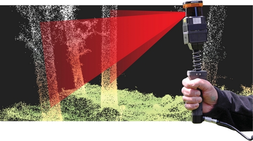
Unlike standard photogrammetry, our LiDAR penetrates gaps in vegetation to reveal the true ‘Bare-Earth’ surface.

ISO 9001:2015 CERTIFIED WORKFLOWS
lidar image

Active Laser Scanning

Active laser scanning works im low-light indoor and outdoor conditions.

Lidar pakistan

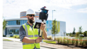
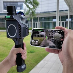
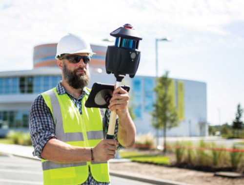
Handheld LiDAR

Handheld LiDAR with SLAM/IMU captures spaces quickly while walking through the site.

download (5)

Precise surveys

Produce dense, georeferenced point clouds for precise as-built surveys.

Reality Capture For Smarter Engineering

image 4 768x431

Handheld LiDAR As-Built Scanning

Capture existing buildings, interiors, structural elements, corridors, staircases, MEP spaces and complex site conditions through fast handheld LiDAR scanning.

image from https epsilongeomatics.com wp content uploads 2026 07 lidar4 (1) (2)

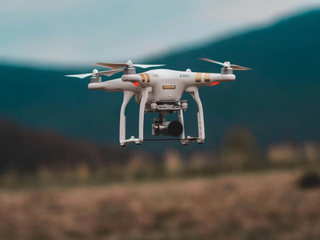
Drone Photography & Aerial Mapping

High-resolution drone imagery is used to generate orthomosaics, DSM/DTM, topographic maps and visual site progress records.

design ohne tite

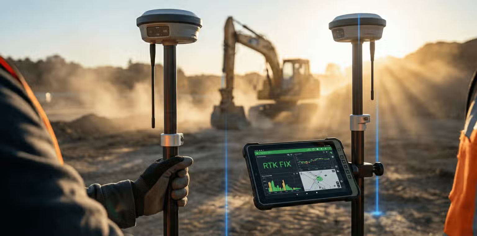
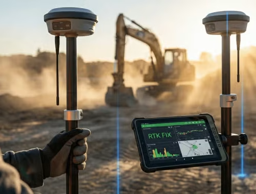
GNSS / RTK Ground Control

High-precislon GNSS and RTK control points are used to strengthen Suvey accuracy, georeference drone data and align LiDAR/ photogrammetry outputs with real-world coordinates

maxresdefault

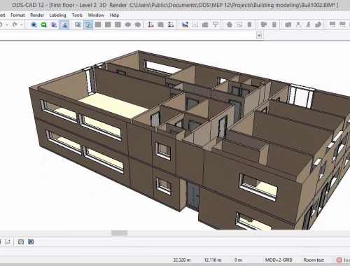
Point Cloud To CAD /BIM

Captured LiDAR and survey data is processed into clean point clouds, 2D drawings, 3D models and BIM-ready outputs for engineering and construction use.

chatgpt image aug 11 2025 08 28 03 am

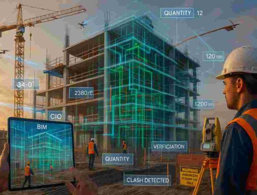
Construction Project Monitorin

LiDAR Scans, drone images and site data are compared with drawings or BIM models to identify progress, missing works, deviations and construction gaps.

integrated structural analysis large 1920x1080

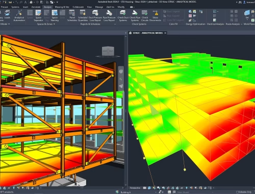
Engineering-Ready Deliverables

We convert survey and scanning data into practical deliverables for consultants, contractors, clients and project managers.

Reverse Engineering

From Raw Scan to Intelligent CAD

Surface Capture

High-density laser capture of geometry, textures, and internal features with zero physical contact.

Point Cloud Mesh

Billions of data points are aligned and filtered into a watertight polygonal mesh (STL/OBJ).

Parametric Rebuild

Manual extraction of design intent to create editable, feature-based solids with history tree.

Native CAD Export

Final delivery in native formats (SolidWorks, Inventor, AutoCAD) with full assembly hierarchy.

Regulatory & Industry Compliance

Local Compliance

Adherence to Survey of Pakistan (SoP) guidelines and Pakistan Civil Aviation Authority (PCAA) UAV.

International Standards

ASPRS Positional Accuracy Standards for Digital Geospatial Data for all LiDAR deliverables.

The LiDAR Competitive Edge

Traditional surveying is slow and blind to what lies beneath the canopy. Epsilon Geomatics provides the transparency required for modern engineering.

Capability
Traditional Survey
Epsilon Lidar
Speed to Deliverable
Weeks to Months
Days to Weeks
Vegetation Penetration
Requires Manual Clearing
Surgical Laser Penetration
Data Density
Sparse Points (1–10 per acre)
Dense Cloud (Millions of Points)
Accessibility
Limited by Terrain Hazards
Aerial Access (Hazard-Free)